Leave a Message

Thank you for your message. I will be in touch with you shortly.

Browse Homes
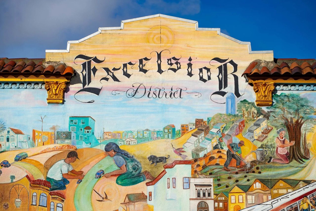
Excelsior District mural depicting neighborhood streets, homes, and residents.
Welcome to

Excelsior

Property Listings

Search Homes in the Area

Overview for Excelsior, CA

22,884 people live in Excelsior, where the median age is 43 and the average individual income is $49,124. Data provided by the U.S. Census Bureau.

22,884

Total Population

43 years

Median Age

High

Population Density Population Density
This is the number of people per square mile in a neighborhood.

$49,124

Average individual Income

Around Excelsior, CA

There's plenty to do around Excelsior, including shopping, dining, nightlife, parks, and more. Data provided by Walk Score and Yelp.

82
Very Walkable
Walking Score
56
Bikeable
Bike Score
73
Excellent Transit
Transit Score

Points of Interest

Explore popular things to do in the area, including Pavian Trading Company, Office Salsa, and RipStar Music.

Name Category Distance Reviews
Ratings by Yelp
Shopping 0.37 miles 0 reviews 0/5 stars
Active 0.65 miles 0 reviews 0/5 stars
Nightlife 0.65 miles 1 review 1/5 stars
Beauty 0.37 miles 6 reviews 4.7/5 stars
Beauty 0.37 miles 0 reviews 0/5 stars
Beauty 0.51 miles 0 reviews 0/5 stars

Demographics and Employment Data for Excelsior, CA

Population Households Employment

Excelsior has 6,567 households, with an average household size of 3. Data provided by the U.S. Census Bureau. Here’s what the people living in Excelsior do for work — and how long it takes them to get there. Data provided by the U.S. Census Bureau. 22,884 people call Excelsior home. The population density is 32,167 and the largest age group is Data provided by the U.S. Census Bureau.

22,884

Total Population

High

Population Density Population Density This is the number of people per square mile in a neighborhood.

43 years

Median Age

49 / 51%

Men vs Women

Population by Age Group

0-9:

0-9 Years

10-17:

10-17 Years

18-24:

18-24 Years

25-64:

25-64 Years

65-74:

65-74 Years

75+:

75+ Years

Education Level

  • Less Than 9th Grade
  • High School Degree
  • Associate Degree
  • Bachelor Degree
  • Graduate Degree
6,567

Total Households

3

Average Household Size

$49,124

Average individual Income

Households with Children

With Children:

Without Children:

Marital Status

Married
Single
Divorced
Separated

Blue vs White Collar Workers

Blue Collar:

White Collar:
Commute Time

0 to 14 Minutes
15 to 29 Minutes
30 to 59 Minutes
60+ Minutes

Schools in Excelsior, CA

All ()
Primary Schools ()
Middle Schools ()
High Schools ()
Mixed Schools ()
The following schools are within or nearby Excelsior. The rating and statistics can serve as a starting point to make baseline comparisons on the right schools for your family. Data provided by the U.S. Census Bureau.
Type
Name
Category
Grades
School rating
Excelsior
Navigate

Where Families Thrive

Explore Other Neighborhoods

  • Bernal Heights
  • Castro District
  • Cow Hollow
  • Excelsior
  • Glen Park
  • Mill Valley
  • Noe Valley
  • NOPA
  • Pacific Heights
  • Richmond District
  • SoMa
  • Sunset District
  • West Portal
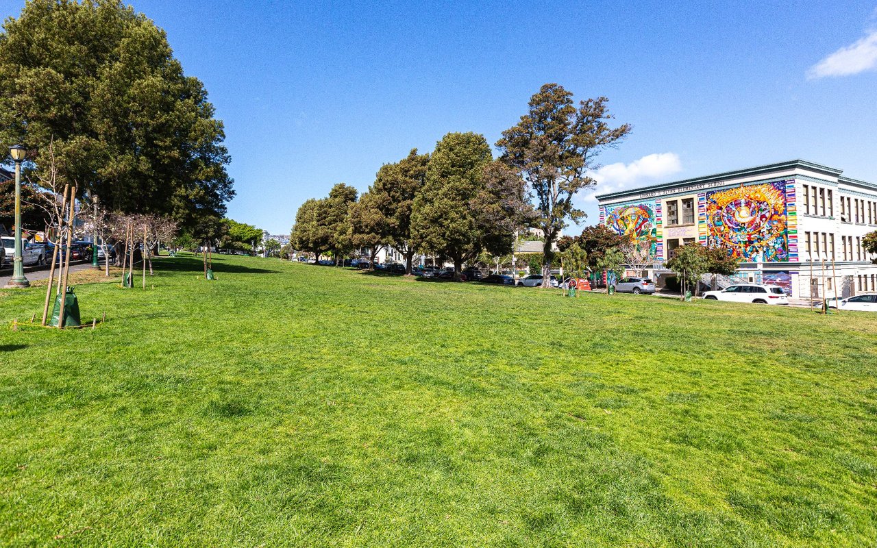
  • Grassy neighborhood park with mature trees and a mural-covered school building along its edge.

    Explore Bernal Heights

    Read More
  • Castro District

    Explore Castro District

    The Castro is more than an iconic neighborhood; it's one of San Francisco's most tight-knit, family-friendly communities. A local guide from Castro homeowner Alexis Kushner.

    Read More
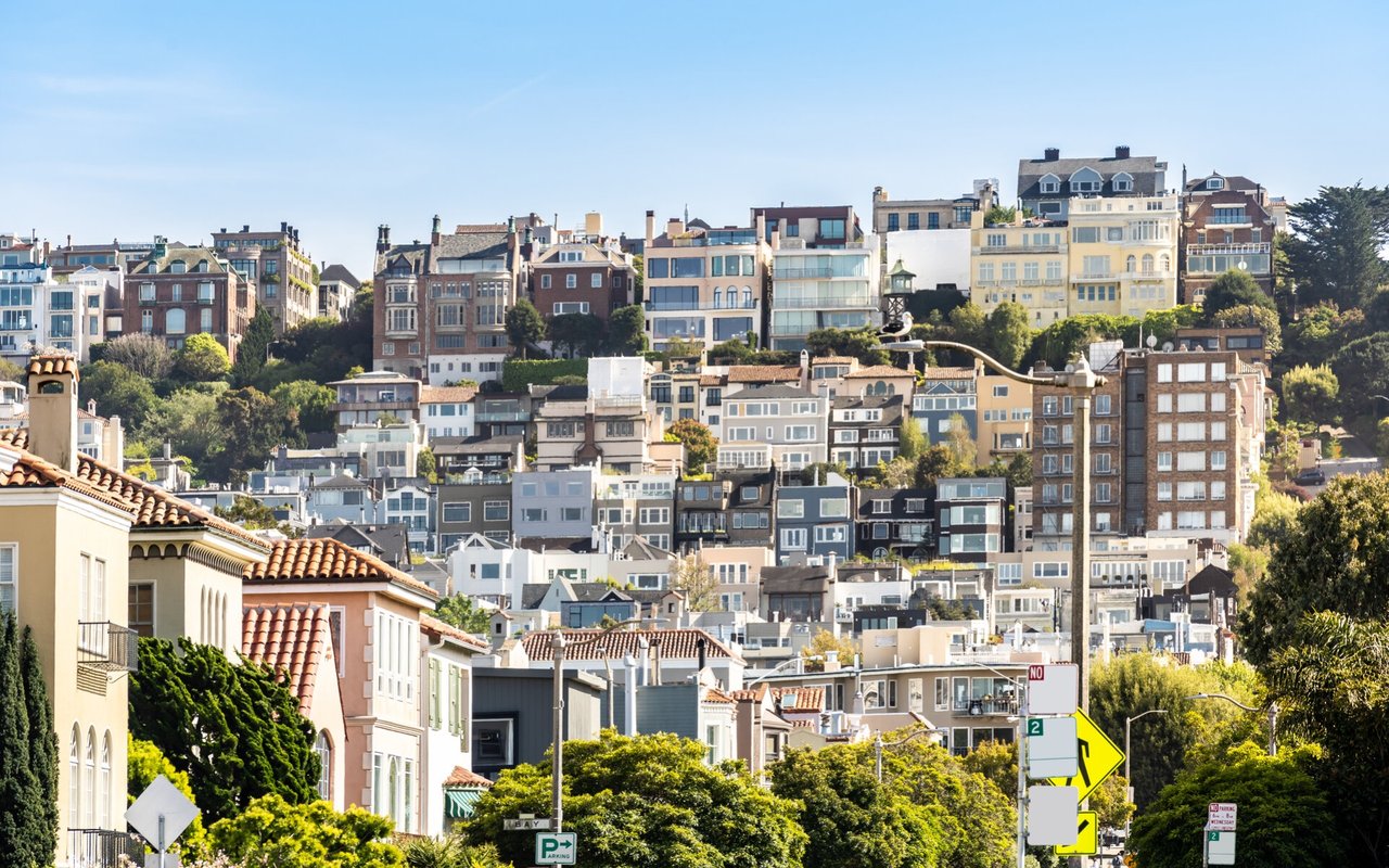
  • Cow Hollow hillside neighborhood with closely packed homes and leafy streets.

    Explore Cow Hollow

    Read More
  • Excelsior District mural depicting neighborhood streets, homes, and residents.

    Explore Excelsior

    Read More
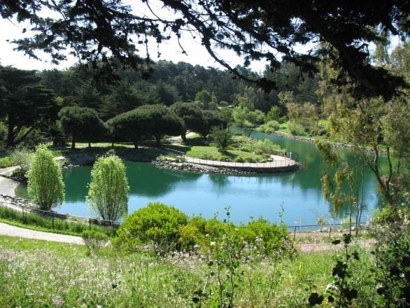
  • A landscaped park pond bordered by curving paths and mature trees.

    Explore Glen Park

    Read More
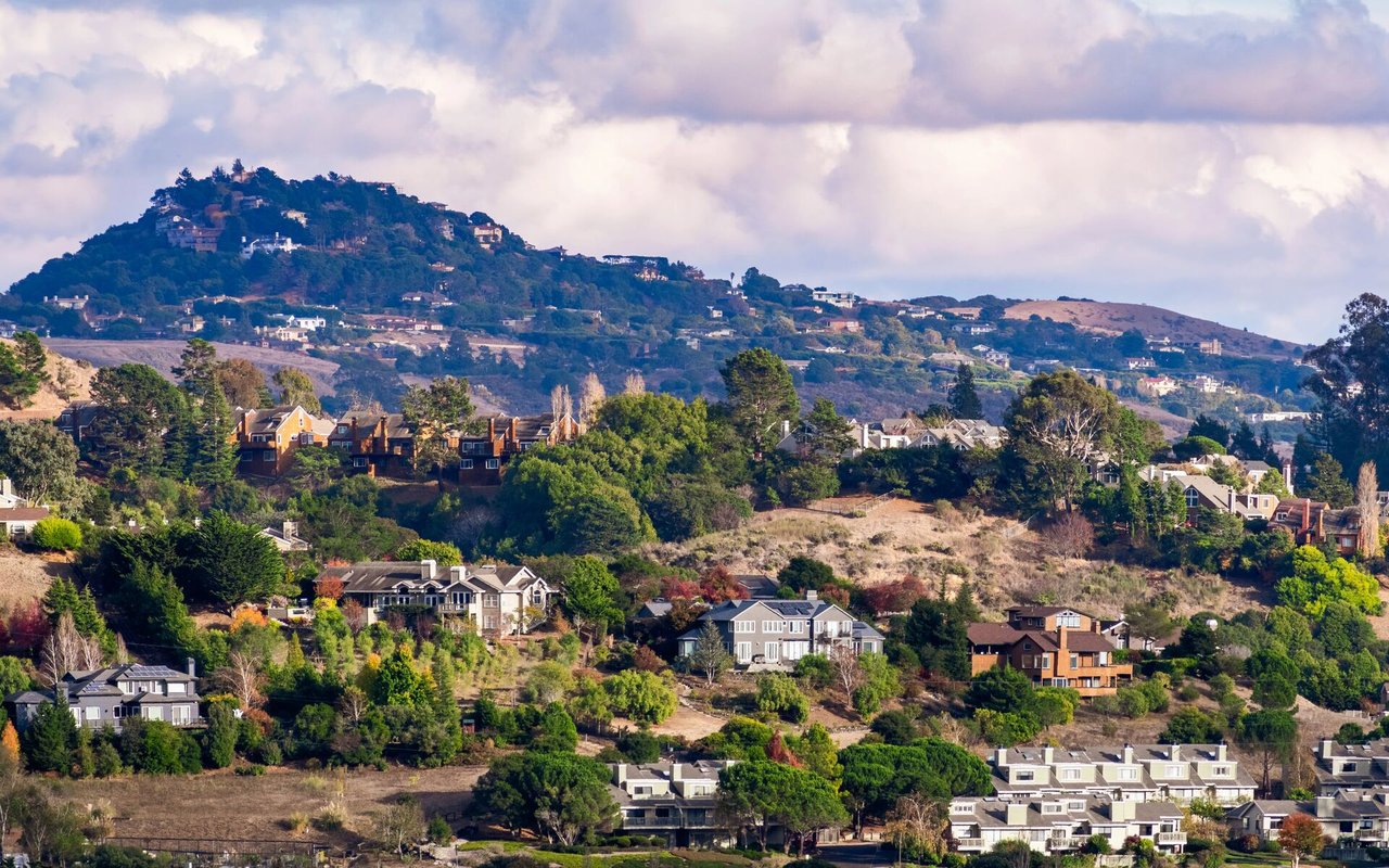
  • Hillside homes and trees with wooded hills in the distance.

    Explore Mill Valley

    Read More
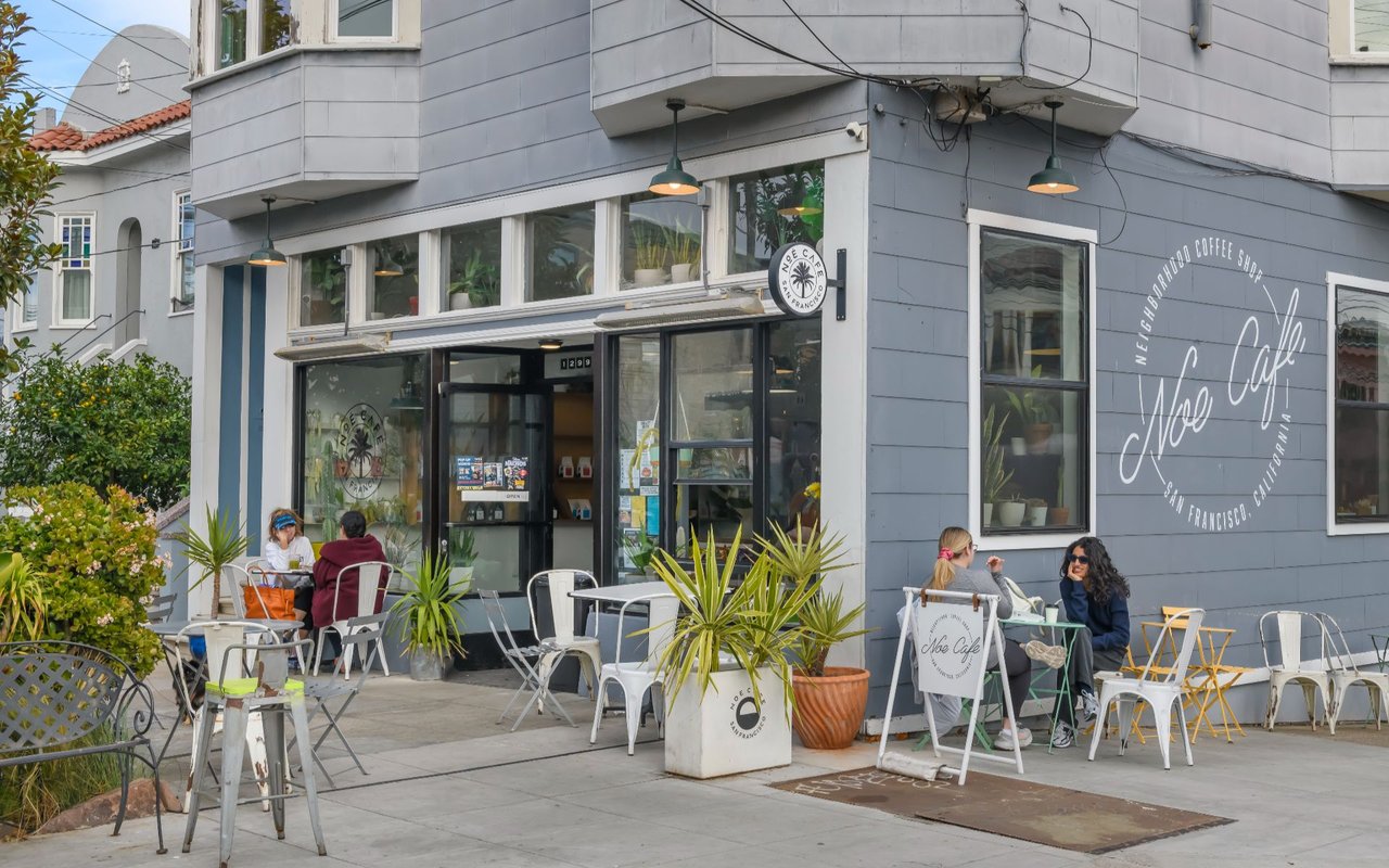
  • Noe Cafe storefront in San Francisco, with sidewalk seating and potted plants.

    Explore Noe Valley

    Sunny skies, stroller-friendly sidewalks, and the best olive loaf in San Francisco. Noe Valley is where SF families put down roots — and never want to leave.

    Read More
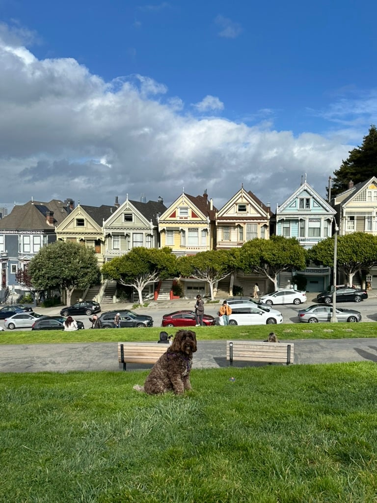
  • alexis kushner _ alamo square park

    Explore NOPA

    NOPA is one of the most central, walkable neighborhoods in San Francisco, built around the Panhandle's eucalyptus trees. Victorian architecture, a can't miss restaurant scene on Divisadero, and a neighborhood I've called home three times over

    Read More
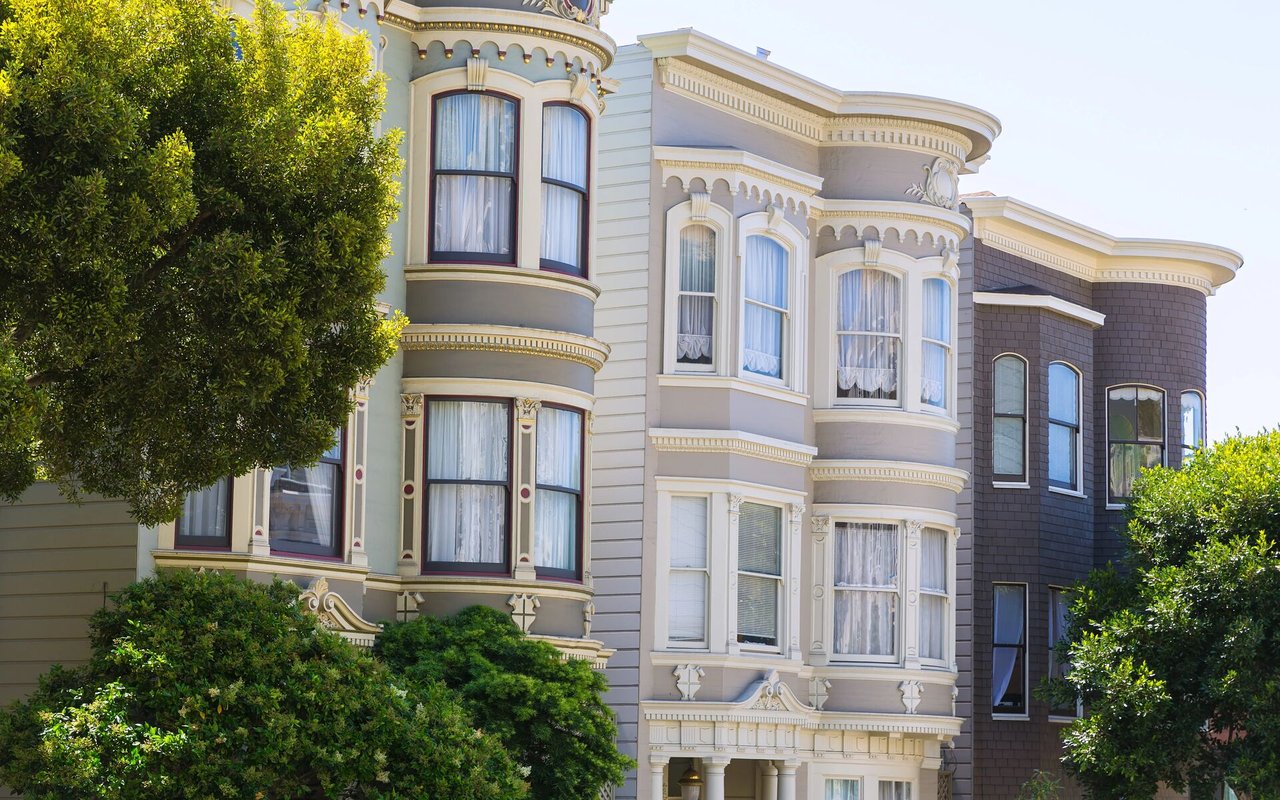
  • Ornate San Francisco Victorian homes with curved bay windows and decorative trim, framed by leafy trees.

    Explore Pacific Heights

    Read More
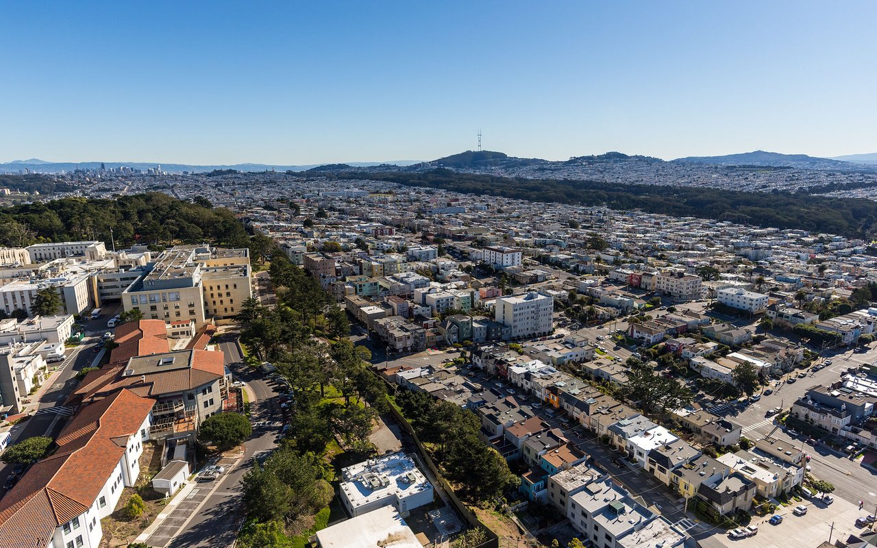
  • Aerial view of the Richmond District, with dense rooftops, tree-lined parkland, and distant hills.

    Explore Richmond District

    Read More
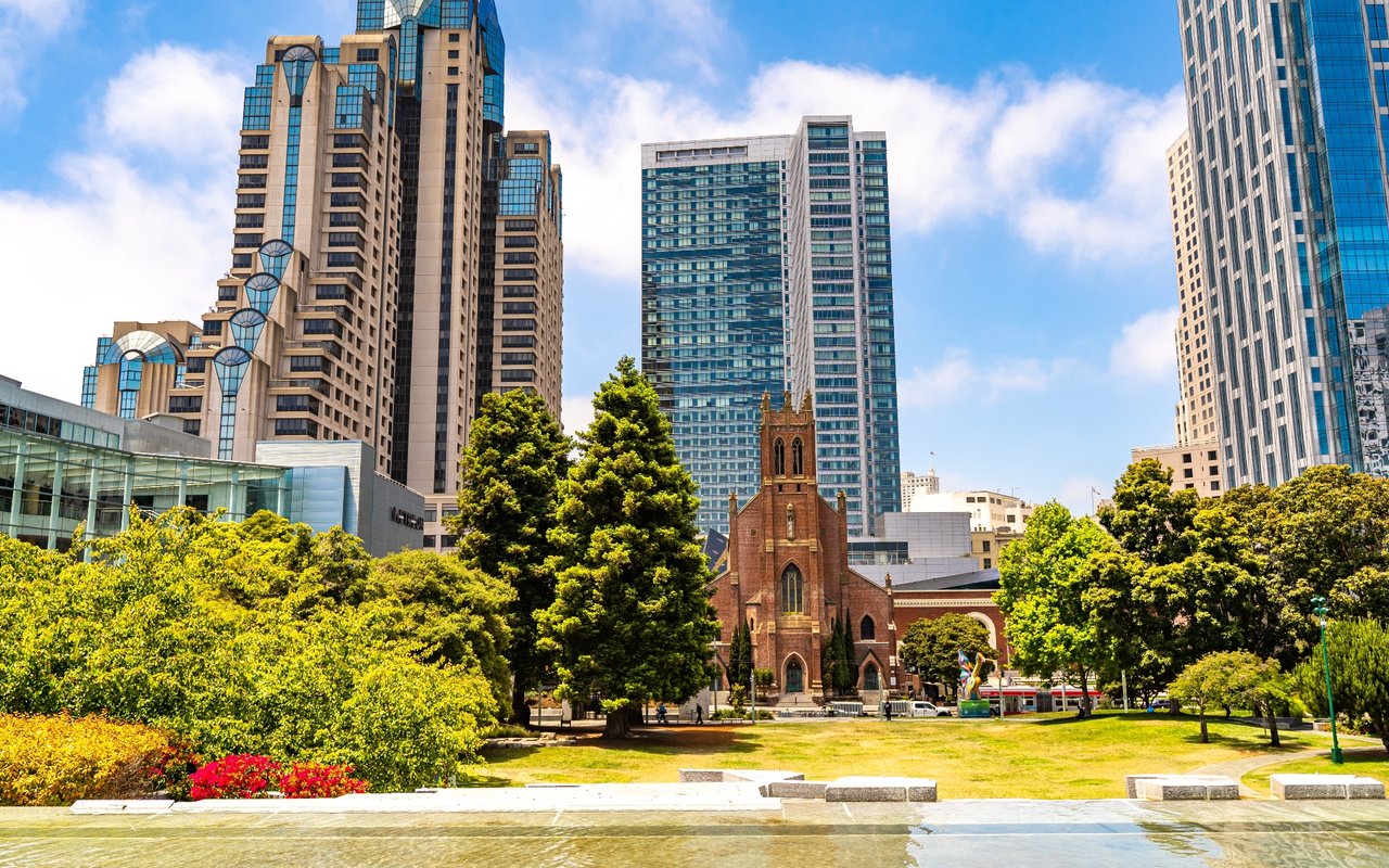
  • SoMa park and fountain framed by a red-brick church and downtown high-rises.

    Explore SoMa

    Read More
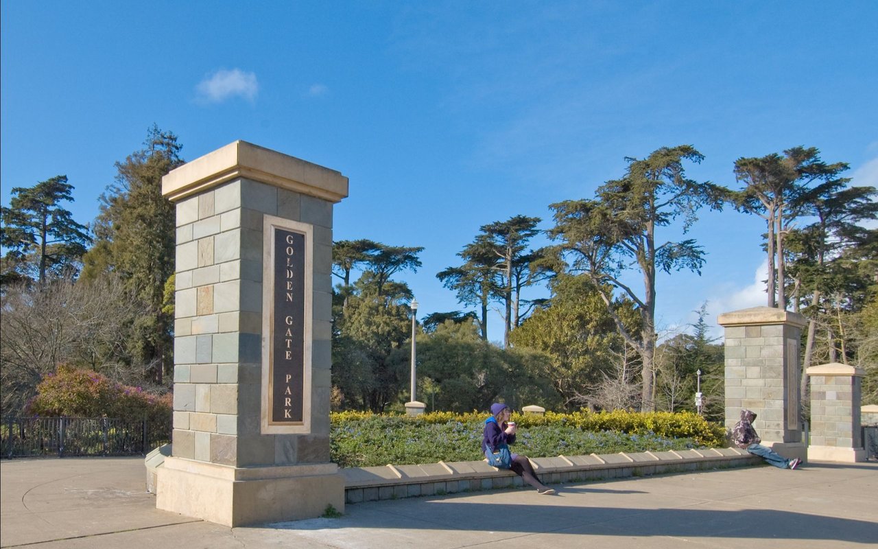
  • Golden Gate Park entrance marked by stone pillars, with visitors sitting along the low wall.

    Explore Sunset District

    Read More
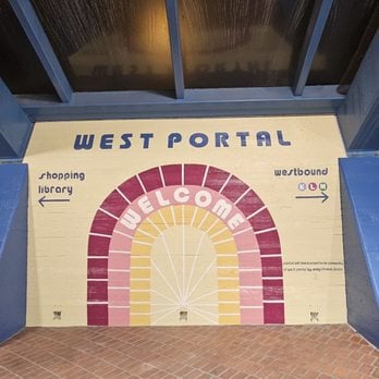
  • West Portal welcome mural with a pink-and-yellow arch and directional signs.

    Explore West Portal

    Sheltered streets, covered Muni station, and a neighborhood strip that still knows your name.

    Read More

Follow Me On Instagram